
Wednesday, January 25, 2017
Coordinate Systems
Wednesday, January 18, 2017
The 5 Principles of Geospatial Design
The 5 design principles of Mapping are Visual
Contrast, Legibility, Figure-Ground
Organization, Hierarchical
organization, and Balance.
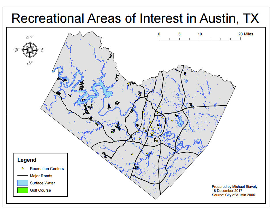
I chose the different symbols such as the green golf courses, and yellow area's of interest (AOIs) in
order to create visual contrast between the colored items and the county map.
The title, layout, and simplicity contribute to the legibility and communication of data. Simply removing
the background counties and roads allowed for good figure-ground orientation
and focus the map. The centering and size of the map as well as the balanced
four corners of layout elements draw attention to the data and establish
hierarchical organization.
Subscribe to:
Posts (Atom)