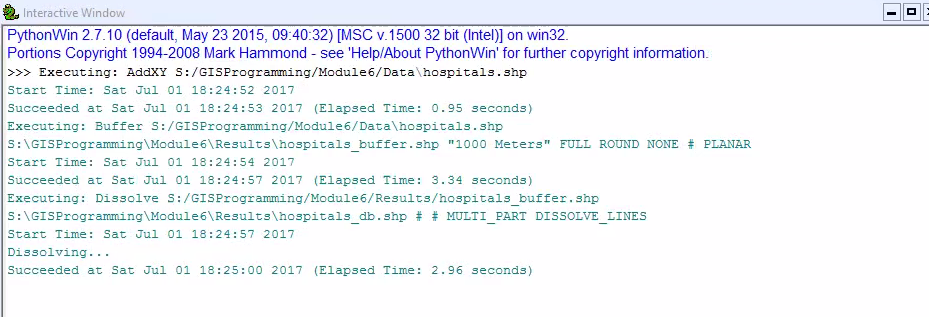
Python scripting can be a powerful tool to automate geoprocessing with GIS, but there are a few steps you need to follow. As shown in the flowchart below, by undertaking the outlined steps, you can successfully run geoprocesses and produce results like those show in the window above. In this exercise we used the AddXY, Buffer, and Dissolve tools.

No comments:
Post a Comment